
 This website and its' applications may experience disruption due to server upgrades. Thank you for your patience and we apologize for any inconvenience - GIS Team 12/2/2024
Welcome to the City of Appleton GIS Website
Located in the Community and Economic Development Department, the City of Appleton's GIS team provides mapping services for all the City's departments and citizens. The GIS team collaborates with the three counties that Appleton is located in and the ten municipalities surrounding Appleton to provide our community with accurate and timely geographic data.
PDF Map Gallery
- Map of all City Districts and Wards
- District 1 - Wards 1 & 2
- District 2 - Wards 3, 4, 5, 6 & 48
- District 3 - Wards 7, 8 & 9
- District 4 - Wards 10, 11, 12 & 52
- District 5 - Wards 13, 14, 15 & 16
- District 6 - Wards 17, 18, 19, 49 & 50
- District 7 - Wards 20, 21, 22 & 54
- District 8 - Wards 23, 24, 25 & 55
- District 9 - Wards 26, 27 & 56
- District 10 - Wards 28, 29, 30 & 51
- District 11 - Wards 31, 32, 33, 34 & 57
- District 12 - Wards 35, 36 & 37
- District 13 - Wards 38, 39, 40, 41, 53, 58 & 59
- District 14 - Wards 42 & 43
- District 15 - Wards 44, 45, 46 & 47
Data Download
By using this page and data layers you agree to the following terms:
The City of Appleton provides this information "as is" and makes no warranty, representation or guarantee of any kind as to the content, accuracy, timeliness or completeness of any of the data information provided herein. The City of Appleton assumes no liability for any errors, omissions, or inaccuracies in the information provided regardless of how caused; or any decisions made or action taken or not taken by the user in reliance upon any information or data furnished hereunder.
FORMAT: Layers are provided in Esri Shapefile format to provide maxium compatibility.
COORDINATE SYSTEM: NAD 1983 HARN WISCRS Outagamie County Feet
| Layer | Description | Download |
|---|---|---|
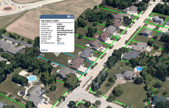
| City Parcels | City parcel polygons with owner and assessment information. | Click here to download Parcel Layer | 3dWebScene
| Address Points | Address points layer. An attempt was made to collect every known address within the City, to include unit/apartment number and parcel number. Each point is located on the structure containing the address. | Click here to download Address Points Layer |
| City Limits | City corporate limits polygon. | Click here to download City Limits Layer |
| Street Centerlines | Street centerline line layer attributed with address ranges and known speed limits | Click here to download Streets Layer |
| Zoning | Zoning polygon layer. Reflects the current zoning designation throughout the City | Click here to download Zoning Layer |
| GTFS | General Transit Feed Specification | Click here to download GTFS |
Contact
Please contact with any questions regarding data access or availability
|


